Maps of the World Home > World Map Collection > France Map
Printable Map of France
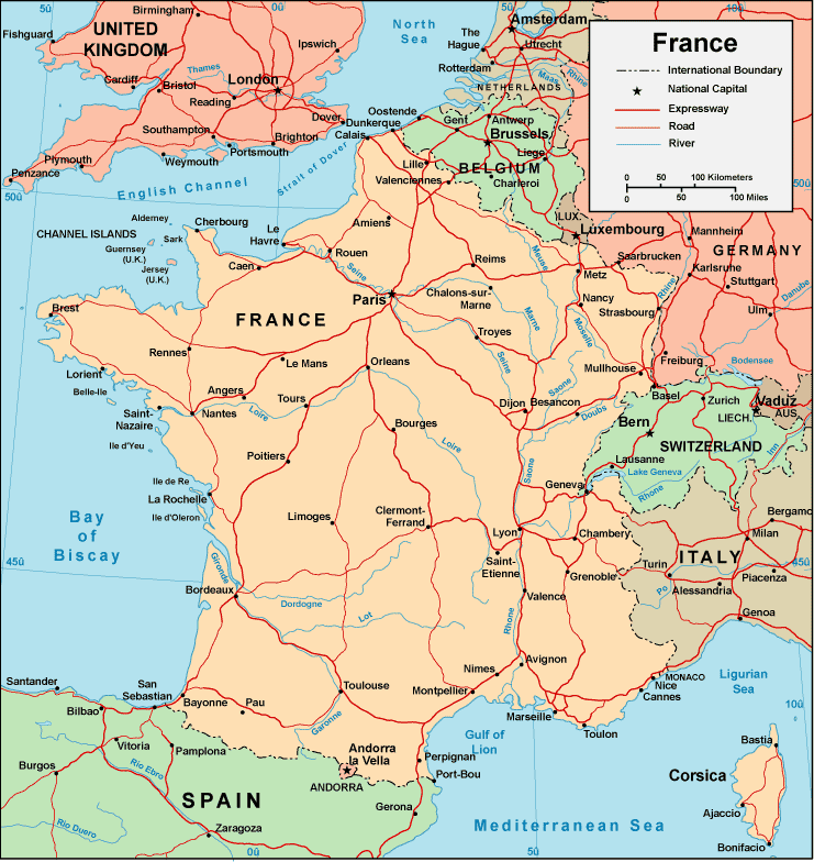
Above, you can see a simple map exposing the spatial relationships of this territory with a simple mixture of elements.
You can print this map and work with it in your research. Linking back to this resource would be awesome.
In case you call for help obtaining a map, a specific map, or call for a good custom-made map, please contact our map specialists.
Procure high quality custom-made maps from us. A custom map made by us consist of a good combination of map components, for example: nodes of transportation, scale bar, coordinates, bays, mountains, territories, geographical areas, or road features, etc. Types of maps run from orienteering to wall, digital to hardcopy, world to places.
Good maps are clear, well-defined, and not misleading. Expert cartography by YellowMaps.
To order hardcopy maps, for example wall maps, state maps, or topo maps, I suggest you pay a visit to our map shop We hold thousands and thousands map products.
A lot of our maps get printed on-demand. They are always available.
Back to World map collection